Ascent to Kriváň from Štrbské Pleso
Štrbské Pleso a okolie
Summer
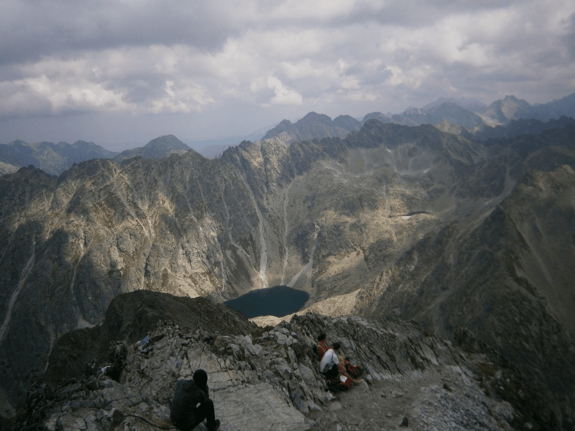
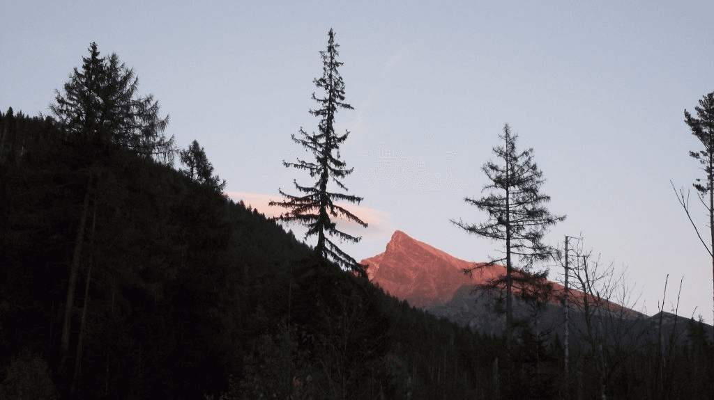
Challenging all-day hike for tourists in good physical shape without the possibility of refreshment on the way. We start from Štrbské pleso and are heading to Jamské pleso -1h:10min. (red trail) following a comfortable forest path with minimal ascent up until we reach the trail junction Rázcestie pri Jamskom plese. We start our way up (blue trail) through the dwarf-pine zone with an increasing number of exposed areas, stones and stone rubble. From the trail junction Rázcestie pod Kriváňom (reachable also from Tri Studničky), we are headed for the most challenging part. The ascent is not very steep but quite long. From the last junction, we have to overcome an elevation of circa 1000 meters. We climb up to the saddleback Daxnerovo sedlo to the smaller version of Kriváň – Malý Kriváň. The trail is very steep and rocky here. After an hour's climb from the trail junction, we reach Kriváň‘s top. On the ridge, we uncover the beautiful views of the tarns – Krivánske Zelené pleso and Nižné Terianske pleso. If the visibility is good, we can enjoy the breathtaking views of the Slovak and Polish Western, High and Low Tatras.
We can also go to Kriváň from Tri studničky. Access is only possible by car. We have a paid parking lot available at the road Cesta Slobody, or we can get there from Štrbské Pleso in about 2,20 h by red mark or 2,10 h by green mark. However, if we add to it the length of the ascent itself (3,50 h) by green trail, this alternative is not exactly optimal. The bus connection works only in the summer months, usually only on weekends. At Tri studničky, we can find the remains of the Važecká chata, which was burned down by Hitler’s troops on September 27th, 1944. A new chalet was built in its place in 1961, but it also burned down in 1999. Nowadays, we’ll only find an empty platform with a beautiful view of Kriváň itself. We can also find a memorial plaque to the Memory of National Ascents to Kriváň or a memorial plaque of Captain Raša. After about an hour of steep ascent, we will have a side cut pointing to a partisan bunker under Grúnik, a replica of which we can see here after a short walk. The roads meet at Rázcestie pod Kriváňom, from where they continue together.
Total Ascent: cca 1 148 m
Trail Length: 18,4 km (9,2 km, 9,2 km)
Duration: 7:10 h (4,00 h, 3,10 h)
Terrain: rocky and forest path, stone rubble, stone steps
Starting point: Štrbské Pleso
Hiking marks: red, blue
Map to the place:
Book your accommodation: