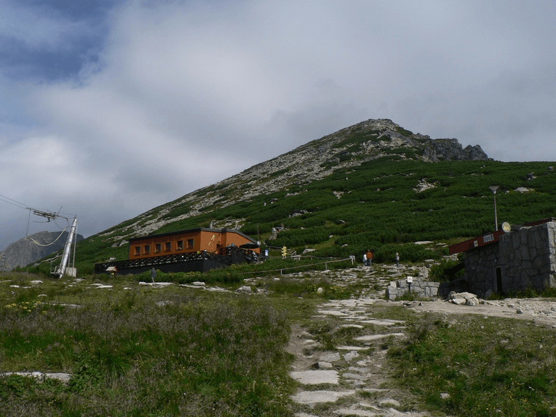
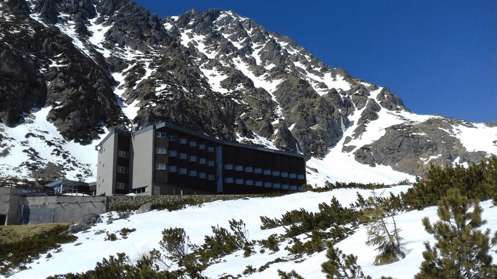
Sliezsky dom from Tatranská Polianka
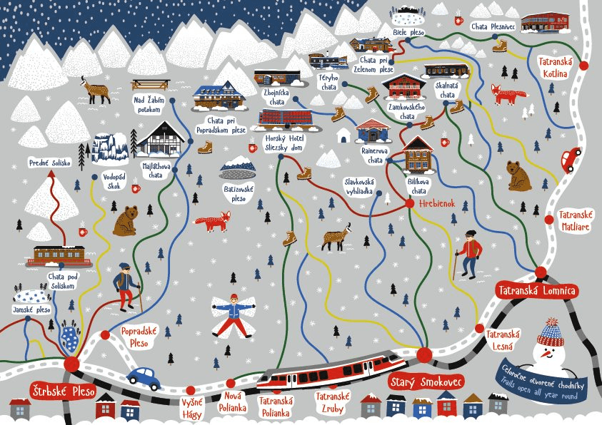
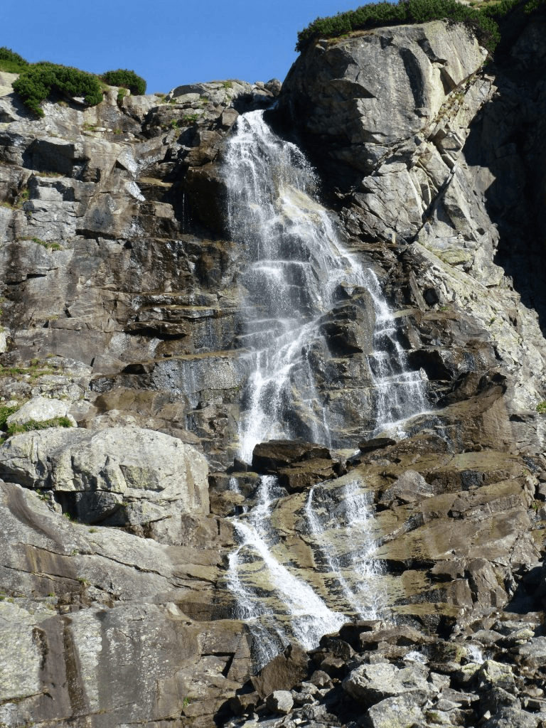
Popular, technically undemanding hike from Tatranská Polianka to the Mountain Hotel Sliezsky dom. The starting point for our hike is in Tatranská Polianka, where we can easily get by tram or park our car at a small parking lot right by the road. Right next to the main road, to the left of the digital gallery Poliankovo, we have an arrow pointing us in the direction of our trip today. The average time to climb the mountain hotel is 2,10 h. (green trail). We’ll get there by a forest path that is partially in the woods and partially with views. An asphalt road leads to the Sliezsky dom, which is longer – 6,8 km. It also serves as a cycling path. First, we start on the asphalt road and after a short time, we can switch to the forest path. This is repeated twice, then we only follow the green marked trail in the forest. After approximately 1 hour, we will get out of the forest and come across the asphalt road again to a juncton Velický Most. A wooden gazebo awaits us here, where we can refresh ourselves and rest. We continue 0,55 h more (green trail) along a stone and forest path, crossing the stream several times over wooden bridges with a view of Gerlach up to a junction Velická Poľana. From here, it is only 0,15h to the Sliezsky dom, but the following section is steeper. We can see the destination of our journey, but it takes a while to reach it. On the Velická Poľana junction, there is also a trail that leads to Nový Smokovec 2h (yellow trail), if we want to return in another way. Sliezsky dom is the starting point for many hiking trails; for example, we can go to the saddle Poľský hrebeň, peak Východná Vysoká, and through the saddle Prielom to Zbojnícka chata. Through Sliezsky dom also leads the red trail Tatranská Magistrála to Hrebienok or in the other direction to Ostrva and Popradské pleso. The more adventurous ones can go with a mountain guide to peaks Gerlach or Bradavica. We end our hike here, but we can enjoy the views of Velické pleso, which we can walk around, admire Velický Waterfall and surrounding peaks – the Gerlach massif, Velická and Granátova walls, a bit lower back to the valley also the Slavkovský štít. Total Ascent: 680 m Trail Length: 9 km (4,5 km, 4,5 km) Duration: 3:55 h (2,10 h, 1,45 h) Terrain: comfortable forest path or asphalt road Starting point: Tatranská Polianka Hiking mark: green ,
Summer Hiking