
Loop Hike from Tatranská Lomnica through Waterfalls Studeného Potoka and Skalnaté Pleso
Tatranská Lomnica a okolie
All year
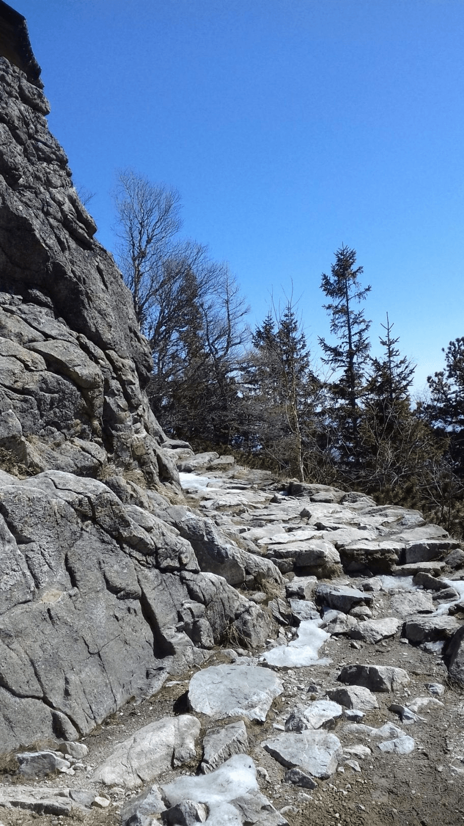
All day unchallenging hike with gentle incline. We start in Tatranská Lomnica in the cable car area. We go around the cable car station to Štart from the left side and continue to an irrigation tank on the blue trail. We don’t have to be afraid to get off or miss the trail because the route is busy. A comfortable forest path and partially rocky trail takes us about 2 hours to Rainerova chata. Along the way we encounter Veľký vodopád („Big Waterfall“) and peaks Kežmarský, Huncovský, Lomnický and Slavkovský štít. After we arrive at the waterfalls, we’ll see the massif of Slavkovský štít and Prostredný hrot. At the chalet, we connect to a parallel red and green hiking trail in the direction of Zamkovského chata. Along the way we can see the biggest waterfall Obrovský vodopád, and, if we are lucky, a fox nicknamed Eliška („Líška Eliška“). We can rest and refresh ourselves at Zamkovského chata and we return (0,02h.) to the junction Rázcestie pri Zamkovského chate. From here, we continue 1 hour with a slight ascent on a red trail called Tatranská Magistrála to Skalnaté pleso. Tatranská Magistrála goes through the whole High Tatras, starting in Tri Studničky and ending in Ždiar. On the way we can rest at Lomnická vyhliadka or just before Skalnaté pleso at a chalet Skalnatá chata. Here, it’s up to us whether we have enough walking and want to take the cable car to Tatranská Lomnica or in about 2 hours get down to Tatranská Lomnica by foot. The hike can be done in both directions. If you use the cable car from Tatranská Lomnica to Skalnaté pleso or back, the hike is then also suitable for families with kids. The trail is open all year-round; in the winter season, it’s necessary to use winter equipment – poles, spikes for shoes, or climbing irons.
Total Ascent: 863 m
Trail Length: 18,6 km (11,8 km, 6,8 km)
Duration: 5:50 h (3,45 h, 2,05 h)
Terrain: comfortable rocky or forest path
Starting point: Tatranská Lomnica
Hiking marks: blue, red, green
Map to the place:
Book your accommodation: